Tuesday, June 1, 2021

BLACK MOUNTAIN #1

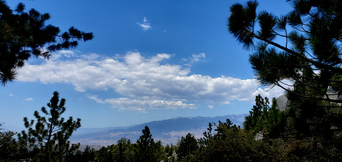
Black Mountain#1 is the highest of eight Black mountain summits in Southern California. It stands tall at 7,772 feet. 

On Memorial Day, Sean and I decided to take a drive towards the San Bernardino Mountains with no real plans in mind, we decided on Black Mountain. 

Even though it is only four miles one way, this trail is very steep, but well maintained. However, there are a few small sections where the path is flat, so it gave us a chance to catch our breath. The entire area was really beautiful. We were surrounded by huge granite boulders, with a variety of fir trees and thriving manzanita bushes. 

Approaching the last mile towards the summit was the most strenuous. At the top of the ridge there was a road and the final climb to the summit is paved with railings. 

The lookout tower was intact. I climbed more than half way up the stairs but couldn't go any further because at the top some of the steps were removed. The summit views were impressive and breathtaking. There was a summit marker but no register. San Jacinto, Fuller ridge and Castle rocks could be seen from the peak. We ate lunch and admired the views for an hour before descending the tralil back to our cars.  

Stats: 8 miles r/t,  2800' gain (approximately)


Sunday, May 16, 2021

HINES PEAK

I was invited to hike with Sean, Keith and Madison. I was so excited because Hines peak was on my to do list. Hines peak stands tall at 6,712 feet. It is the highest peak in the Topatopa mountain range. 

We all met at the Rose Valley campground then hopped into Keiths truck. The road to the trail head required a high clearance vehicle. In addition to this, Keith had to get the code for the gate from the Ranger station. It was only a 11-mile drive but it took an hour and a half to drive the very rough narrow road. The fog was so thick that we had to drive very slowly making sure not to drive off the cliff. 

This was truly a bad ass, tough hike. The last 1000 feet to the summit was the toughest. From the Saddle just before the steep ascent was a razor edge ridge that we crossed, followed by more steepness with loose dirt, rocks and some class 2 rock scrambling. Then there was a false summit with a beautiful rock outcropping to climb over. After that is was smooth sailing to the summit through some thick brush.

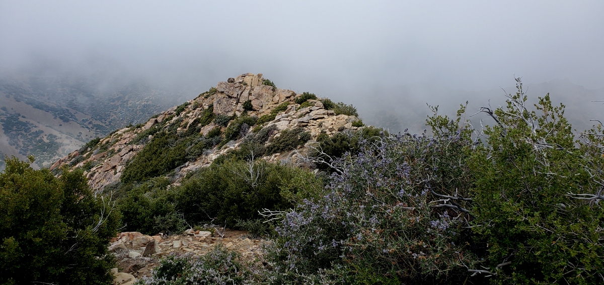
Despite the thick fog covering what I can imagine would have been beautiful views on the summit, I was so elated. in my opinion this was one tough, bad ass hike. At the top there was two benchmarks and a register. 

Descending the steep ridge from the peak was a bit challenging I fell twice because of the loose gravel but i did not seriously get hurt, in fact none of us did. Crossing the razor edge ridge on the descent was more scarier than the ascent. 

Anyways, it was a fun day. I'm glad that we all had a successful summit and that we made it out alive, thanks to Keith';s excellent driving skills. 

stats: 7 miles, 2500' gain (approximate)


last saddle before the steep climb to Hines

section after crossing the razor edge ridge

still have a ways to go

another view of the razor edge 


false summit

beautiful rock outcropping just before the summit

final push 

summit views blocked by thick fog

whooohooo!!!


Sunday, April 25, 2021

TELESCOPE PEAK-DEATH VALLEY

I spent four days in Death Valley and on the last day I hiked to Telescope Peak with a few friends. Driving on the road to Mahoganny campground requires a high clearance vehicle. The weather forecast was a high of 50-degrees with wind gusts up to 45-50 mph at the summit. 

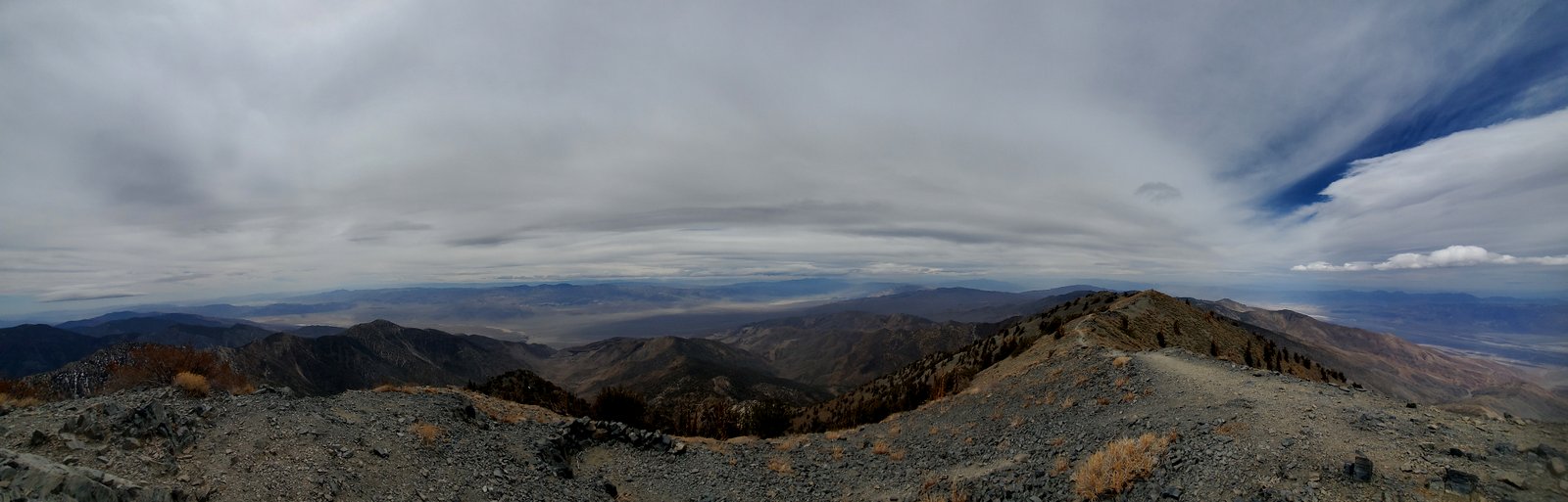
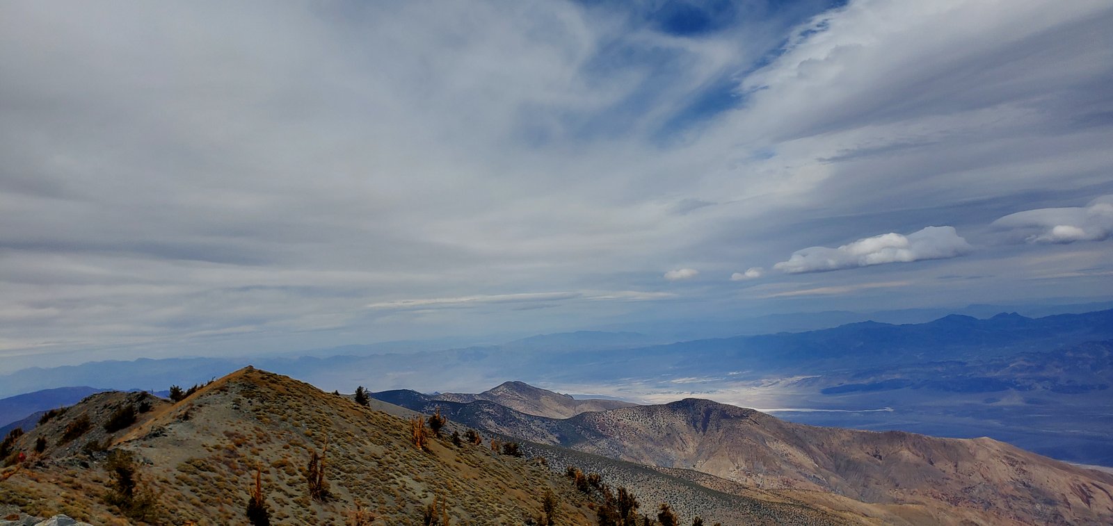
It was a beautiful, maintained trail with spectacular views. On the ascent, the wind was calm but it was very windy at the saddle and after the last two miles of the switchbacks which was the toughest part of the trail.

This was a training hike for Whitney. (I got my permit and am looking forward to a successful summit in September.) So, I was very proud of myself for not getting elevation sickness. This was my highest elevation hike of the year so far. 

Anyways, the summit views were breathtaking. I found two benchmarks and there was a register. We sat behind a rock wall and ate lunch. In my opinion, the wind chill was tolerable at the summit.

We hung out for almost an hour at the peak but later regretted it. As we descended the peak, the winds really picked up. I was freezing. The wind was so strong, and I felt as if it might knock me down. Even though I was prepared for the cold weather, it wasn't enough. We tried our best to hurry back but it was a long way to our cars and the wind never stopped.

Our plans to bag Bennet or Rogers peak on the return quickly came to a halt due to the freezing cold wind. Anyways, I really enjoyed hiking to Telescope but next time I'll wait for better weather conditions.

Stats: 16 miles, 3300' gain


Friday, April 23, 2021

WILDROSE PEAK-DEATH VALLEY

I spent four days in Death Valley. On day two we hiked to Wildrose Peak which stands tall at 9,064 feet. This was a beautifully maintained trail but it was a tough 4.2 miles one way. The trail has a few areas where you can soak in the views of the entire valley below. The weather was nice, a little chilly at the summit but we had spectacular views of the snow-capped Eastern Sierras.

The trail head is also known for its Charcoal Kilns. They were all neatly spaced in a linear path along the parking area. 

A bit of history: they were built in 1877 and produced charcoal. Workers filled the stone kilns with pinon pine logs and fired them. Burning reduced wood charcoal took 6-8 days and cooling took 5 days. Wagons then hauled charcoal to the furnace smelter where it was burned to extract silver and lead.

The kilns were pretty cool. We went inside to look around and they make a good place for shelter. 

Stats: 9 miles, 2200' gain